Professional aerial photography, aerial video, and drone mapping services for construction, real estate, events, and watersports.
Every flight is purpose-driven. Whether you need impactful aerial visuals that stop the scroll or reliable mapping data that drives decisions — Next View delivers.
Cinematic aerial imagery for real estate listings, construction progress, events, and brand content. 4K video and high-resolution stills edited and delivered promptly.
Precision aerial mapping and photogrammetry for construction sites, land surveys, and infrastructure inspection. Deliverables include orthomosaics, 3D models, and elevation data.
Showcase properties from their best angle. Aerial photography and video that gives buyers and renters a full sense of scale, surroundings, and lifestyle.
Dynamic aerial coverage of watersports events, races, and activities. Specialized in open-ocean and coastal shoots including race documentation and athlete highlights.
Tell us your project goals, location, and timeline. We'll assess airspace, weather windows, and the best approach to capture exactly what you need.
We file all necessary flight authorizations, conduct site surveys, and plan every shot. FAA Part 107 compliance on every project, every time.
Our licensed pilots execute the mission. 4K footage, high-resolution stills, or precision mapping data — captured with professional-grade equipment.
Edited footage, processed maps, and final deliverables delivered on your timeline. Cloud delivery included on all projects.
Every pilot is FAA licensed and insured. We handle all airspace authorizations so your project is 100% compliant — no surprises.
We show up prepared, deliver quality work, and keep you informed throughout. Your project matters to us.
DJI enterprise and Inspire platforms with 4K and mapping-grade cameras. The right tool for every job.
Based in Orange County, serving clients throughout Southern California. Coastal, inland, wherever you need us — we'll be there.
Color grading, editing, and mapping data processing included. You get a finished product — not raw files.
$1M+ liability coverage on all flights. Certificate of insurance provided on request for property owners and event organizers.
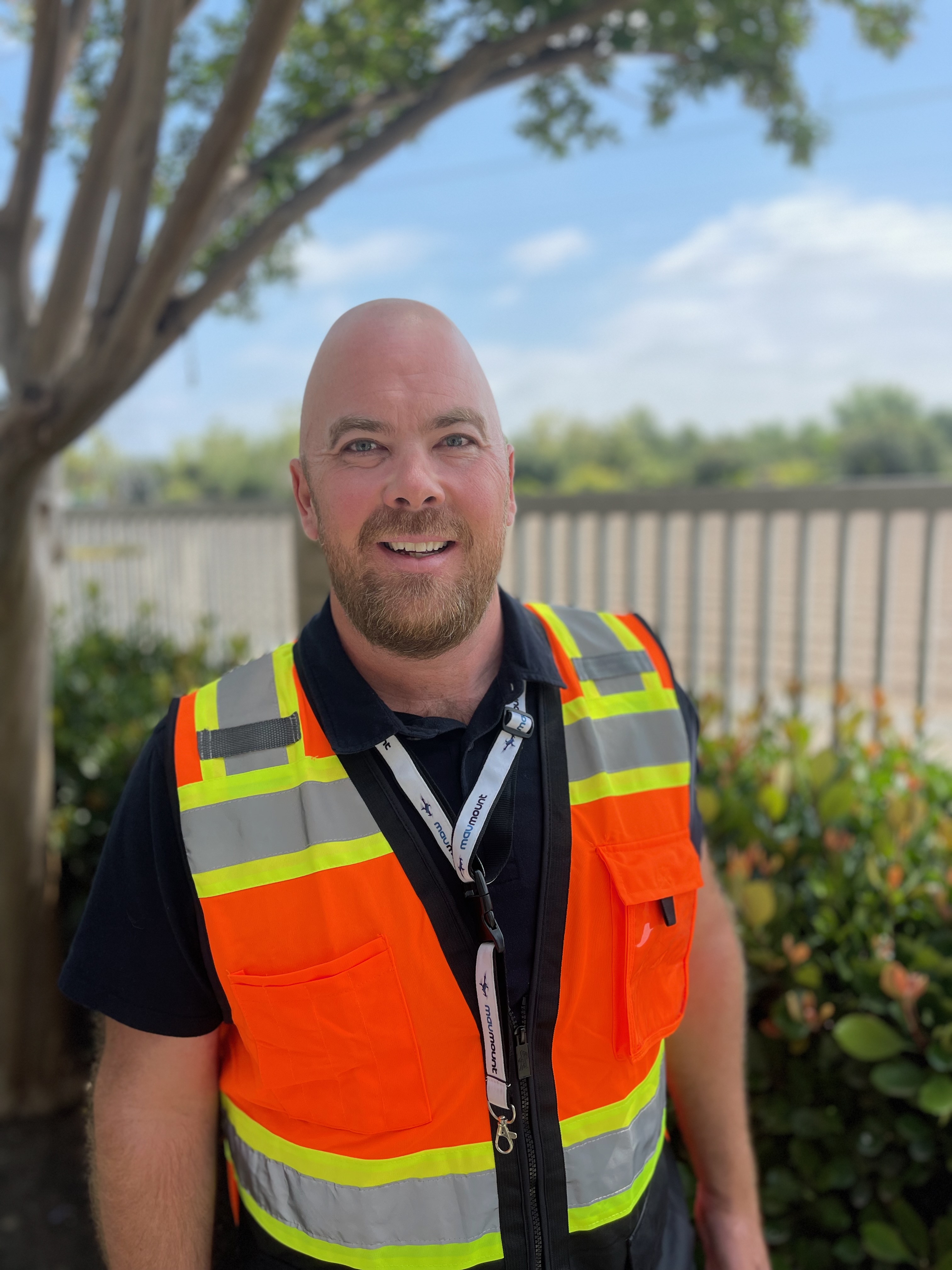
Hi, I'm Brian — founder and Chief Pilot of Next View Drones. Based in Orange County with over 15 years in IT security, I bring a detail-first mindset to every project. That background means I show up prepared, communicate clearly, and treat your job like it matters. Because it does.
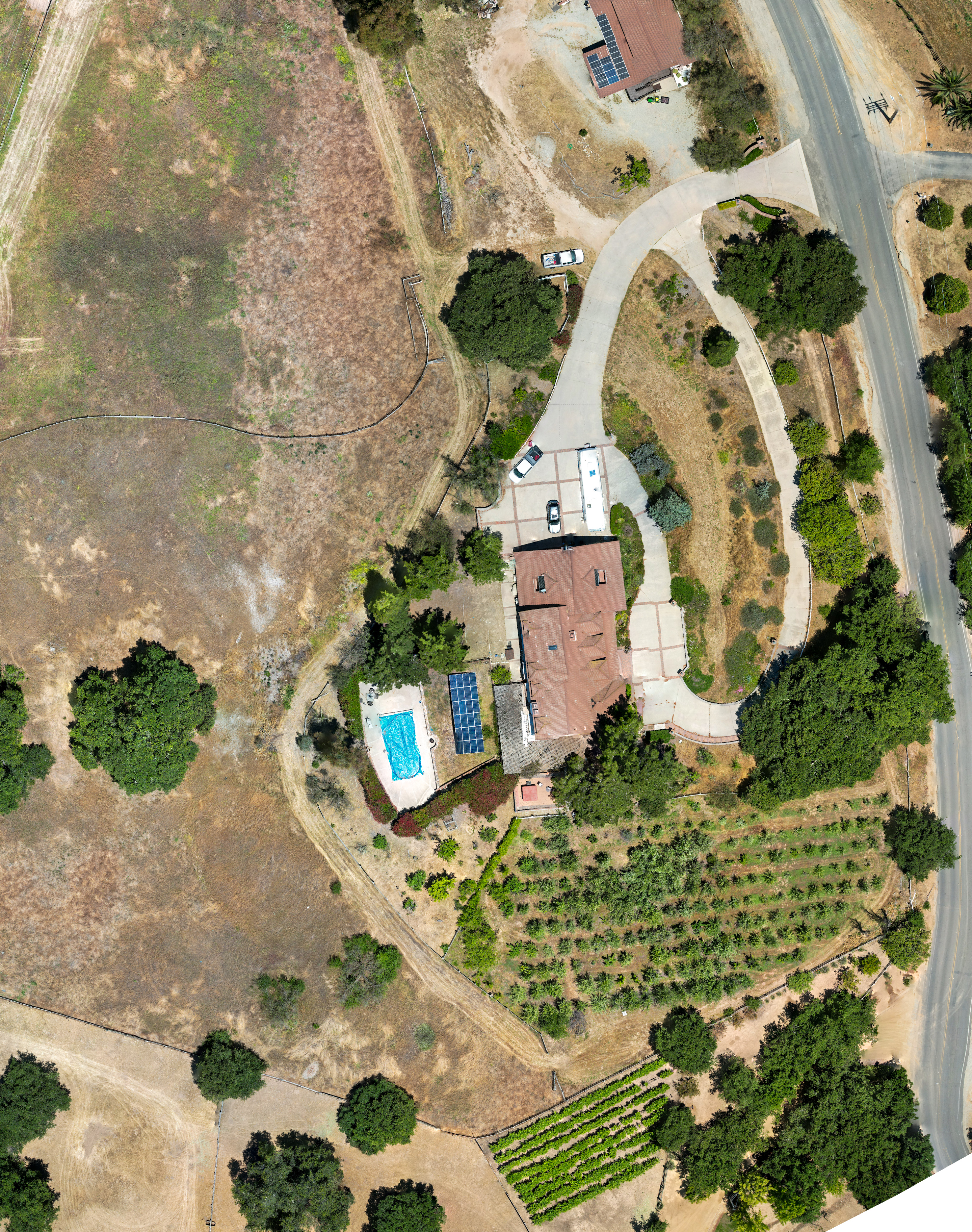
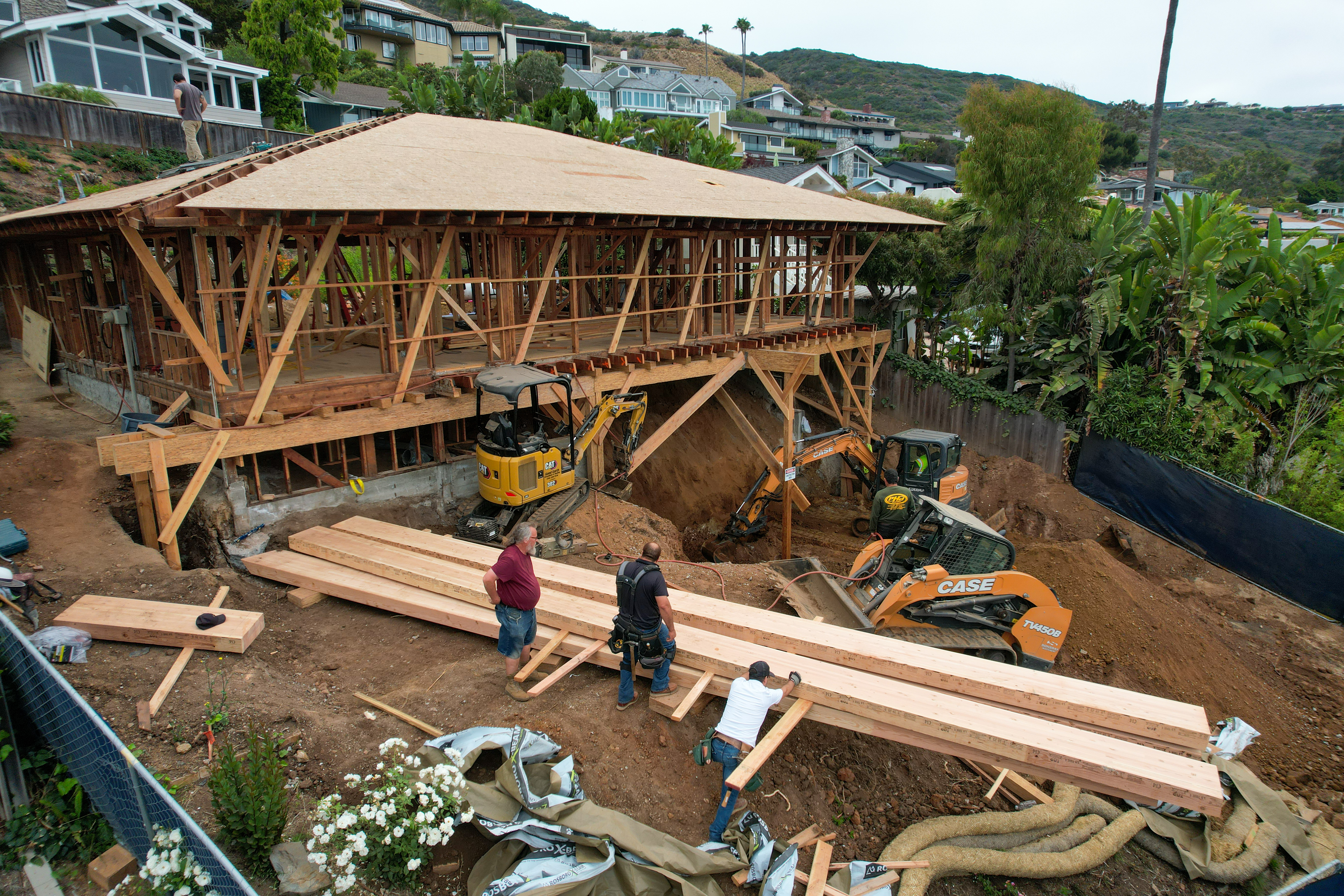
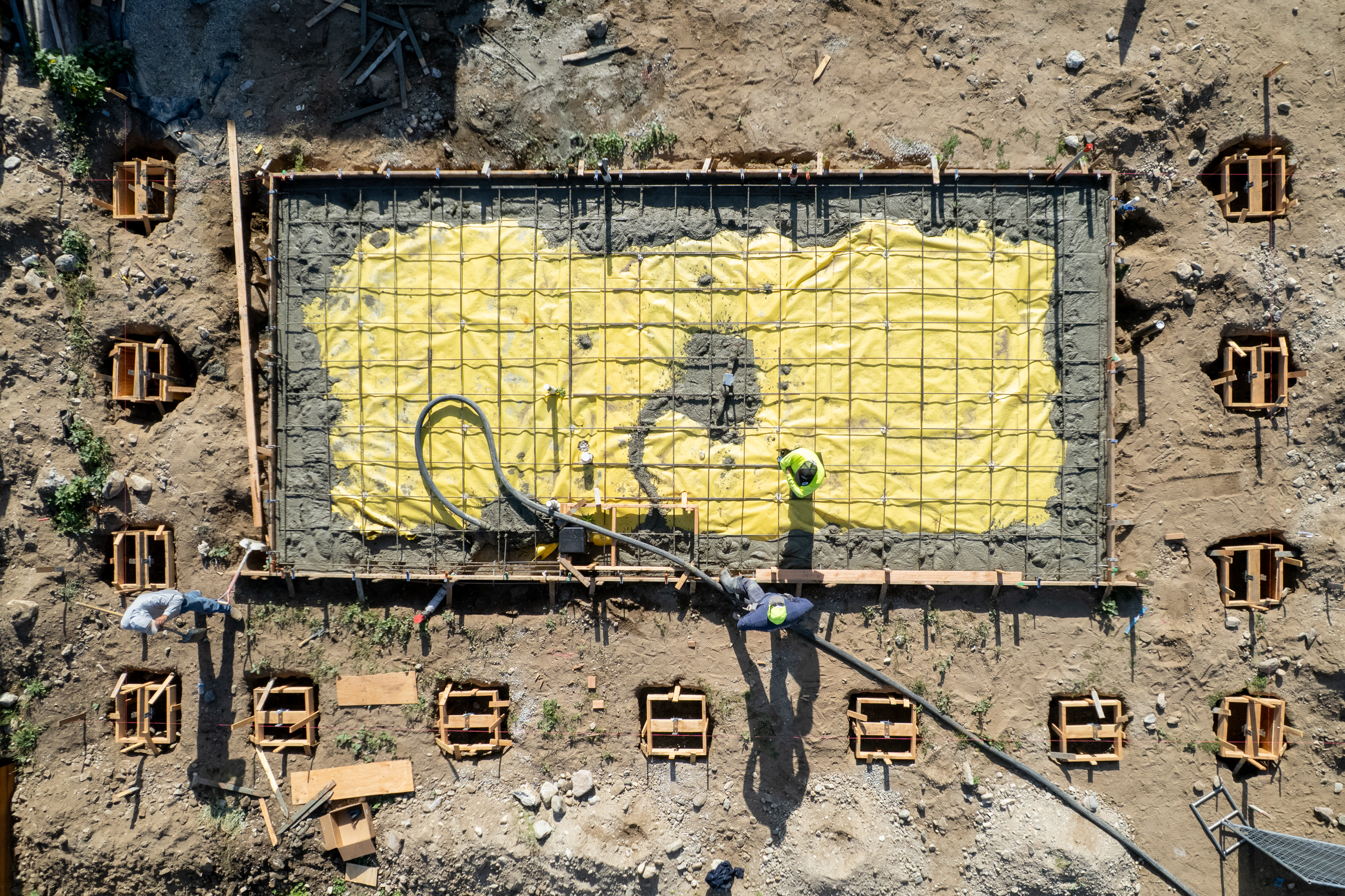
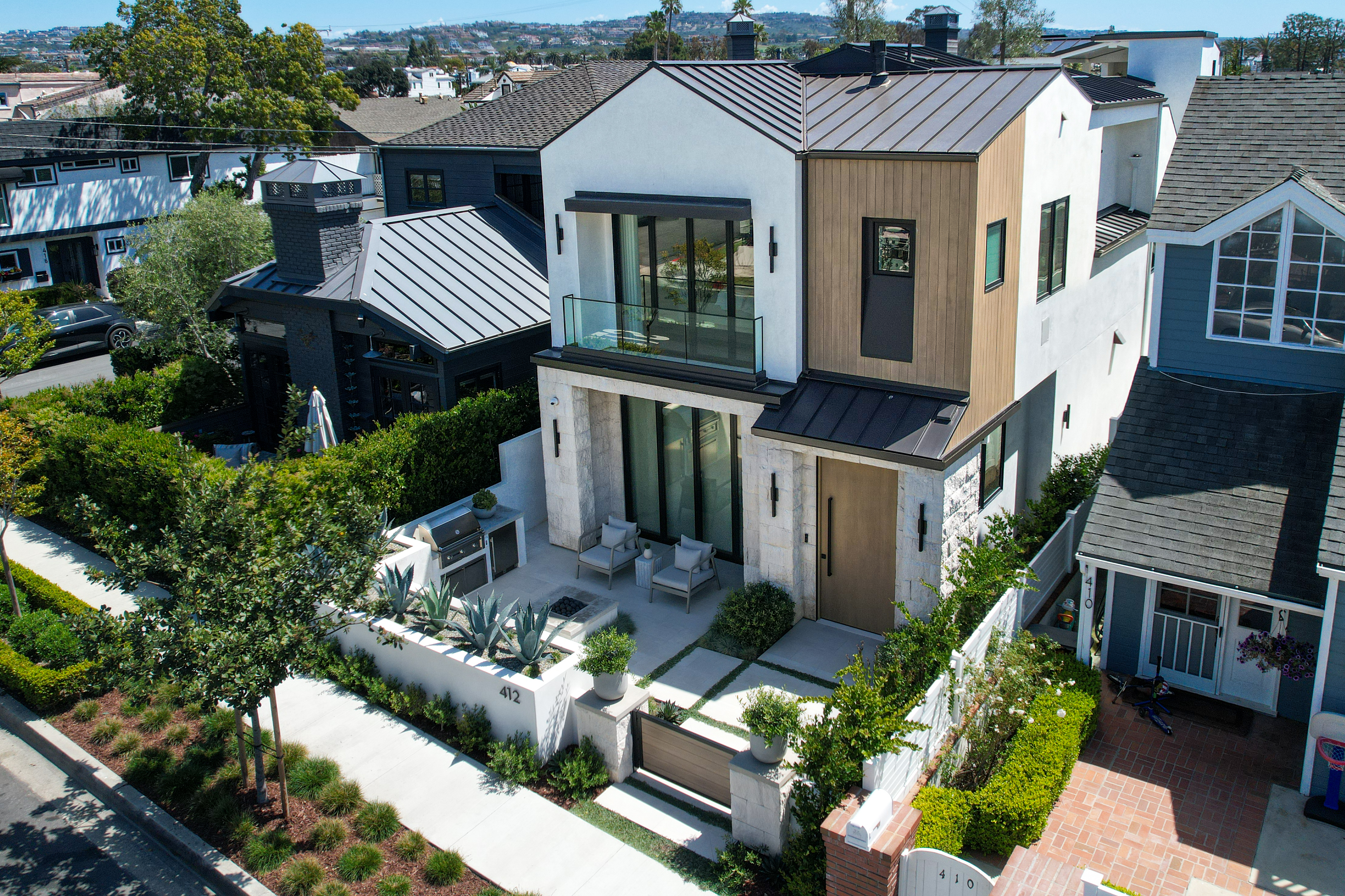
Next View specializes in real estate aerial photography, construction documentation, and watersports event coverage throughout Southern California. Every flight — whether I'm personally behind the controls or dispatching one of our trusted FAA Part 107 certified pilots — is held to the same standard.
When you work with Next View, you're working with a team that's invested in your outcome. We're not the biggest operation in the sky — but we'll outwork anyone to make sure your project comes out right.
See everything. From above.
See everything. From above. Next View is ready to capture it for you.
Tell us about your project and we'll get back to you within one business day with a custom quote.